
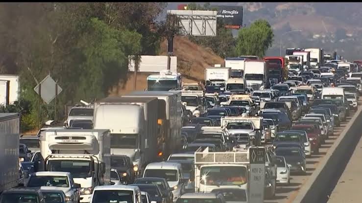
Southern California – Drivers using Southern California’s SR-91 Freeway encountered multiple crashes, traffic hazards and emergency responses on Tuesday, September 15, 2026, according to California Highway Patrol (CHP) incident records.
The 91 Freeway, also known as the Riverside Freeway and Artesia Freeway on different sections, runs through Los Angeles, Orange and Riverside counties. Conditions can change rapidly along the route, making official traffic information particularly important for commuters.
SR-91 incidents reported Tuesday
CHP records show several collisions and traffic hazards along the Riverside section of SR-91 during the afternoon. One collision occurred on westbound SR-91 near Tyler Street, where CHP reported minor injuries and emergency assistance.
Another incident involved a reported hit-and-run collision with injuries on eastbound SR-91 west of 14th Street in Riverside. CHP records indicated that multiple vehicles were involved and that medical personnel were requested.
A disabled big rig near McKinley Street also affected eastbound traffic, with a lane temporarily blocked. Earlier reports included additional collisions around La Sierra Avenue, Spruce Street and other Riverside locations.
A traffic incident was also reported on westbound SR-91 near the I-605 connector in the Santa Fe Springs area, while another crash was recorded near Valley View in Westminster.
By the evening, traffic-monitoring data showed numerous incidents had been recorded along the highway during the day. A third-party traffic tracker listed 19 vehicle collisions, 43 traffic hazards and two SigAlerts for September 15. These figures represent incident reports collected by the service and should not be interpreted as an official CHP statistical count.
Caltrans highway status
Caltrans’ highway information system reported no traffic restrictions for SR-91 in the Southern California area as of 7:29 p.m. PT on September 15.
Because CHP incidents can develop or clear within minutes, motorists should check current conditions before starting a trip. Caltrans QuickMap and CHP traffic information provide official sources for road conditions, closures and reported incidents.
This article is based on traffic information available for September 15, 2026. Conditions may have changed since the reported times.